Back to photo gallery contents.

Canal Society
|
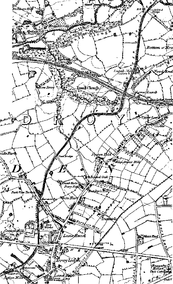 1848 map of Droylsden. From top to bottom: Cinderland Bridge, Lumb Aqueduct, Harrisons Bridge (Greenside Lane), New Bridge (Manchester Road Bridge), Droylsden, Fairfield Junction with Ashton Canal. Next map. Images produced from the www.old-maps.co.uk service with permission of Landmark Information Group Ltd. and Ordnance Survey. |
[ Top of page ][ Home ][ About the Canal][ Along the Canal ][ Photos ][ About us ][ News ][ Join or Donate ][ Links ]