Back to photo gallery contents.

Canal Society
|
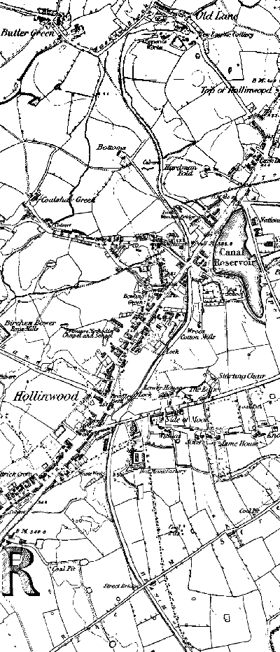 1848 map of Hollinwood. From top to bottom: The Werneth Canal from Old Lane to Hardmans. The Hollinwood Branch Canal from Hardmans, down four locks to Bradley Bent Basin, Hollinwood, then to Street Bridge. 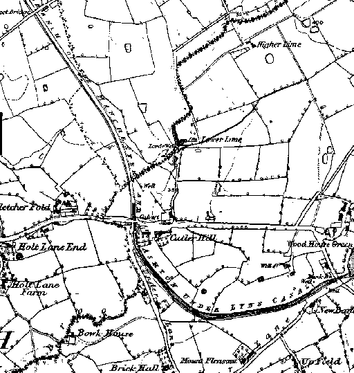 1848 map of Cutler Hill. From top to bottom: Street Bridge, Cutler Hill Bridge and Crime Bridge. Woodhouses is off to the bottom of the map and Crime Lake is off to the right. Next map. Images produced from the www.old-maps.co.uk service with permission of Landmark Information Group Ltd. and Ordnance Survey. |
[ Top of page ][ Home ][ About the Canal][ Along the Canal ][ Photos ][ About us ][ News ][ Join or Donate ][ Links ]