Back to photo gallery contents.

Canal Society
|
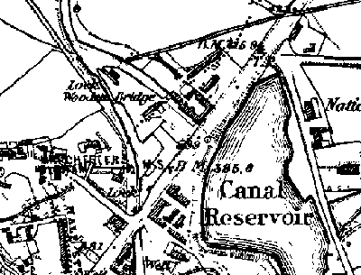 Close-up 1848 map of Hollinwood Top Wharfs. Showing the seventh and eighth locks, the wharf between the two locks and the wharfs on the arm above the top lock. 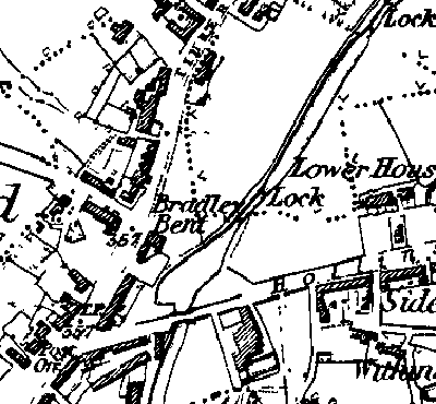 Close-up 1848 map of Bradley Bent Basin, Hollinwood. Showing the fifth and sixth locks and Bradley Bent loading wharf. 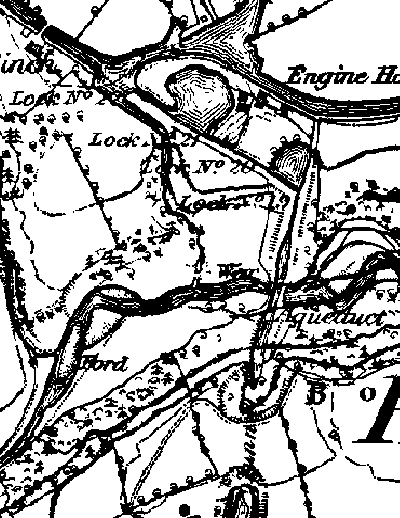 Close-up 1848 map of Waterhouses. Showing Waterhouses (Boodle) Tunnel, Waterhouses Aqueduct, the four Waterhouses locks, the Pumping House and the junction with the Fairbottom Branch. 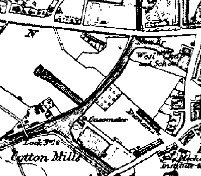 Close-up 1848 map of Fairfield Junction, Droylsden. Showing Lock number 18 on the Ashton Canal and a loading arm running westwards just after the start of the Hollinwood Branch. Images produced from the www.old-maps.co.uk service with permission of Landmark Information Group Ltd. and Ordnance Survey. |
[ Top of page ][ Home ][ About the Canal][ Along the Canal ][ Photos ][ About us ][ News ][ Join or Donate ][ Links ]