Back to photo gallery contents.

Canal Society
|
These photographs kindly provided by Chris Potter. They may be freely reproduced subject to acknowledgement of "Chris K. Potter Archive" as source. 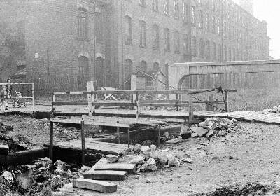 Clifford Swing Bridge, linking Medlock Street with Sunnyside Road, Droylsden. Albion Mill is in the background (1964). (photo: Chris K. Potter Archive) 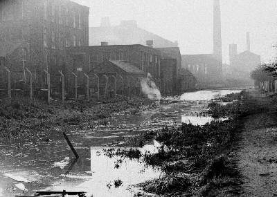 Looking south along the Hollinwood Branch towards Droylsden (from near Clough Road). On the left side of the canal can be seen Oakfield Mill, Saxon Mill and Albion Mill (1964). (photo: Chris K. Potter Archive) 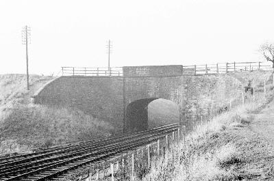 Littlemoss Aqueduct, carrying the Hollinwood Branch over the Victoria to Ashton railway line near Lumb Lane, Droylsden (1964). (photo: Chris K. Potter Archive) 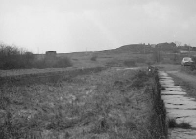 The Hollinwood Branch Canal at Boodle, looking south from the former Dark Tunnel towards Newmarket Road. The canal curves off to the right to pass below Stannybrook Road (1962). (photo: Chris K. Potter Archive) 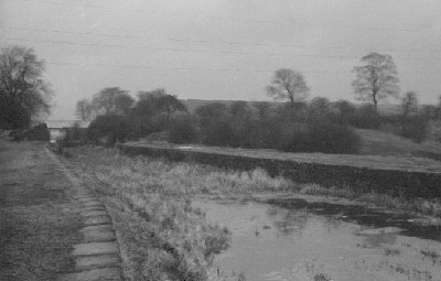 The Hollinwood Branch Canal at Boodle, looking north towards the former Dark Tunnel. This area is now the car park of Daisy Nook Country Park with the position of the present visitor centre approximately in the centre of the picture (1962). (photo: Chris K. Potter Archive) 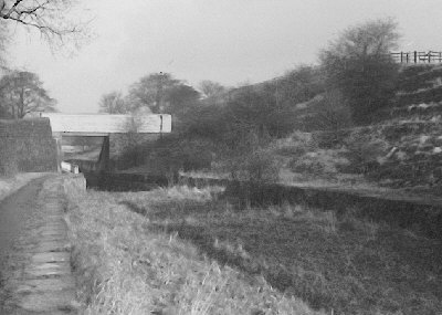 The entrance to the former Dark Tunnel at Boodle, now part of Daisy Nook Country Park, looking north (1962). (photo: Chris K. Potter Archive) 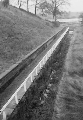 The opened-out Dark Tunnel (Boodle Tunnel) at Daisy Nook Country Park, looking north, with the towpath on the left and the navigation channel still with a little water in (1962). (photo: Chris K. Potter Archive) 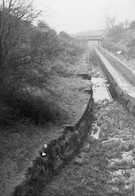 The opened-out Dark Tunnel looking south from the footbridge (1962). (photo: Chris K. Potter Archive) |
[ Top of page ][ Home ][ About the Canal][ Along the Canal ][ Photos ][ About us ][ News ][ Join or Donate ][ Links ]